Project #MadeinDasein
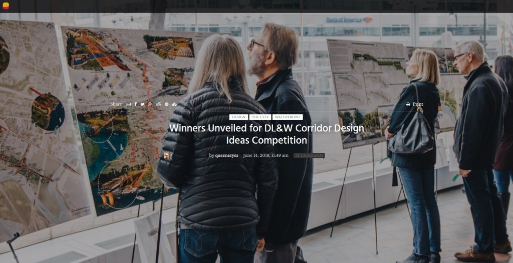
The Western New York Land Conservancy invited designers, architects, landscape architects, urban planners, and artists to submit visionary concepts to a juried competition laying the groundwork to transform the abandoned, 1.5-mile elevated DL&W rail corridor connecting Buffalo’s downtown with its waterfront through three distinct and historic neighborhoods.
This Design Ideas Competition is the next step in reimagining the DL&W corridor, following the work of community leaders, residents, planners, and advocates who have championed the potential of this site for years
Authors:
– Clara Miguens – Rodrigo Ruiz Medina – Victoria González – María Lorena Carballo – Lucia Griotti – Sirio Esteban Rifah – Laura Gianina Carballo.
– DASEINteam: Nicolás Benedetti & Marina Hurst
PROJECT PARKAAP
Our proposal embraces the life around the park. It creates spaces for community
participation and welcomes local activities, making this an ideal place to express the virtues of a multicultural society with enormous historic content.
We included the existent elements of the entertainment area of Buffalo City and its future subway terminal. We formalized the idea of an Urban Door, reinforcing, by the use of complex blocks highlighting green areas and pedestrian access, a threshold to access the park.
We prioritized the linkage “River-Elevated Park-City” through infrastructure that separates the means of transportation: motorists, pedestrians and cyclists. Urban bridges and the inclusion of bicycle lanes emphasize this concept.
At street crosses we propose sidewalk level “Pocket plazas” to foster residents and visitors encounters, creating the link neighborhood-park and easing the flow of pedestrians and cyclist circulating around the area.
The elevated surfaces of the park are made of planks linked together creating the path for pedestrians-cyclists. They are crossed by “Parkaids” where you can rest or use your leisure time recreatively. Its orientation and vegetation control how much you can see and the access to adjacent building, making it a priority to preserve neighbors’ privacy. However, the linkage park-lot is fostered in the area adjacent to South Park Av. promoting its commercial development.
Half way there, we meet the railway crossing, adding an access bridge to the natural area. The pedestrian walk ends in an area that will have administrative buildings and plants nurseries. Its linkage with Red Jacket Park and the river forces us to connect the corridor with paths and activities that can be adapted to different seasons.
After crossing the old railway bridge, we arrive at the end of the park. There is a waterway in the lower level. We incorporated activities in hidden areas to avoid marginalization situations by the presence of people around. In the upper level, we will deploy a footbridge over the railway that ends in two viewpoints. Finally, we propose a managerial structure that ensures the park maintenance by a community participation application, suggesting and controlling its good use, schedule and self-sustainability.


Leave a comment